
How Citizens Can Report Transit Problems Through Apps
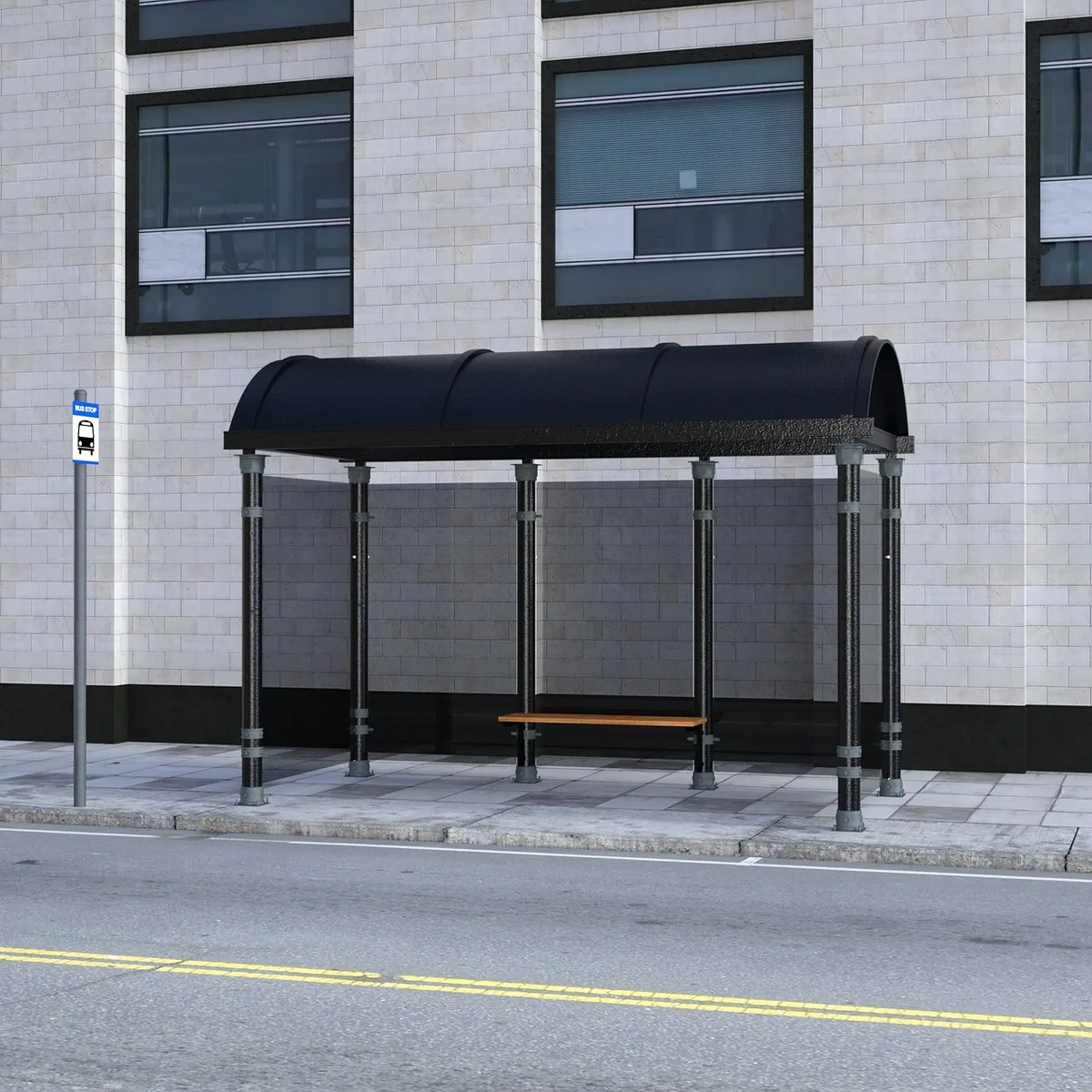
Every day, people notice things that transit agencies and city planners often miss: a bus shelter with a broken light, a bike lane blocked by delivery vans, a traffic signal that never gives pedestrians enough time to cross. Individually these problems are small. Collectively they shape whether people choose buses, bikes or their feet over the car. Reporting apps and feedback tools have made it much easier to turn these everyday observations into information that public agencies can act on.
Why citizen reports matter for sustainable transport
Public agencies cannot inspect every stop, lane and crossing themselves. Staff visits are periodic, and many problems only appear at certain hours, in certain weather or during specific events. Riders and residents experience the network continuously, which makes them valuable sensors. Crowdsourced transport reporting works because it fills gaps in official monitoring with a steady stream of local observations.
The value of a report depends on its specificity. "The bus service is bad" is hard to act on. "The northbound stop at the corner of the park has had no shelter lighting after dark for two weeks" gives a maintenance team a location, a condition and a timeframe. Good reporting apps are designed to push users toward this kind of detail.
Types of problems people can report
Most transit and mobility feedback falls into a few recurring categories. Knowing them in advance helps you choose the right channel and write a useful report.
- Stop and station conditions: damaged shelters, missing benches, broken displays, unreadable signage, poor lighting, or litter and overflowing bins.
- Vehicle and service issues: buses that bunch together, missed stops, routes that no longer match the published timetable, or accessibility equipment such as ramps or lifts that fail.
- Cycling infrastructure: potholes or debris in bike lanes, lanes blocked by parked cars, missing markings, or gaps where a protected route ends abruptly.
- Street safety and complete streets: crossings with insufficient time, missing curb ramps, faded crosswalk paint, or speeding traffic near schools and shops.
- Obstructions: construction without clear detours for people walking or cycling, or vehicles parked across footways and bus stops.
How reporting apps typically work
Most civic reporting tools follow a similar pattern, even when their interfaces differ. You select a category, mark a location on a map, add a description and often a photo. Some apps let you track the status of your report, so you can see whether it was received, assigned or resolved. Others forward reports to a city's maintenance system or a transit agency's customer service platform.
Some transit operators also publish their data openly. When timetables, real-time vehicle positions and route geometry are available in standard formats, independent apps can compare what is supposed to happen with what riders actually experience. This combination of open data and citizen observation is one of the most useful developments in civic technology for public transport.
Tips for making a report that gets acted on
- Check the location carefully. Use the map pin or enter the nearest stop number or street crossing. Precise locations save staff time.
- Describe one problem per report. Separate reports make it easier to route each issue to the right team.
- Take a clear photo when it is safe. Show the defect and something that gives context, such as the street name or a stop sign. Never photograph from a position that puts you in traffic.
- Include time and conditions. Note when you noticed the problem and whether it recurs, for example during rush hour or after rain.
- Follow up if nothing happens. If a report stays open far longer than the app suggests, add a comment with new details or contact the agency through its official channel.
Participatory planning beyond quick fixes
Reporting apps are not limited to repairs. Many cities also use online maps, surveys and comment tools to gather input on new routes, bike network designs and street redesigns. Residents who explain how they actually travel, which crossings feel dangerous and where a missing link would change their daily trips provide planners with evidence that counts traffic data alone cannot capture.
Participation works best when it is early and specific. Feedback on a draft plan can still shape details such as the placement of a bus stop or the width of a protected lane. Feedback given after construction is finished usually leads to smaller adjustments. Watching for consultations on proposed changes and commenting while options are still open is one of the most effective ways to influence outcomes.
Limits and good practice
Crowdsourced data is powerful but imperfect. Reports can cluster in well-connected neighbourhoods, while residents with less time, less access to smartphones or different language needs may be underrepresented. Public agencies that rely on these tools should look for gaps and invite feedback through several channels, including phone lines, in-person meetings and printed notices at stops.
As a user, it helps to keep reports factual, avoid duplicating existing open items without new information, and respect the privacy of people in photographs. A good report is one that a stranger could verify and act on without needing to ask you a single question.